
Meta’s New AI Chip: A Strategic Move Toward Silicon Independence
The Strategic Pivot: Meta’s Quest for Silicon Independence For years, the backbone of Meta’s digital infrastructure relied heavily on…
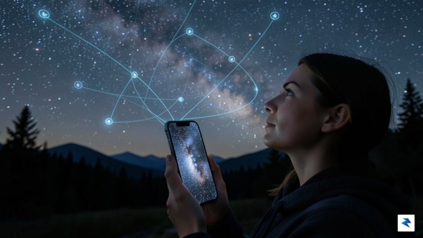
For millennia, humanity has looked up at the night sky with a sense of wonder and curiosity, a vast, sparkling canvas filled with distant stars, planets, and the occasional fleeting comet. This timeless fascination has often been met with a significant barrier to entry: the need for expensive telescopes, specialized knowledge of celestial mechanics, or dark-sky locations far from urban light pollution. Yet, in our increasingly interconnected world, the heavens above are more bustling than ever, not just with natural phenomena but with a dense network of human-made satellites—a silent, intricate ballet of technology orbiting our planet.
The burgeoning interest in space exploration, private spaceflight, and the visible trails of mega-constellations like Starlink has sparked a renewed public desire to understand and engage with our orbital environment. However, identifying these thousands of artificial objects, distinguishing them from stars, and tracking their precise paths has remained largely the domain of dedicated hobbyists and professional astronomers. This is where innovation steps in to democratize the cosmos, offering a groundbreaking solution that transforms your everyday smartphone into a powerful lens for celestial observation.
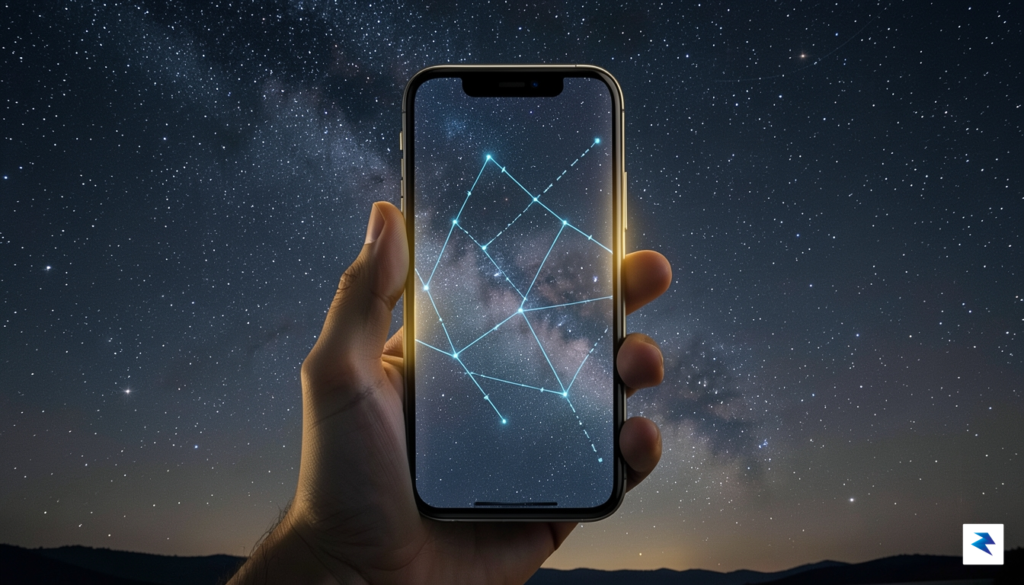
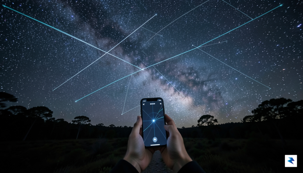
Introducing Orbit, a revolutionary new iOS application designed to bridge this very gap by making the invisible visible. This intuitive tool harnesses the power of augmented reality (AR) to overlay the complex, dynamic movements of over 15,000 orbiting objects directly onto your real-world view through your phone’s camera. Imagine simply pointing your device skyward and instantly seeing not just the stars, but also the International Space Station, communication satellites, discarded rocket bodies, and even the debris from past missions, all rendered in real-time against the backdrop of your local sky.
Orbit fundamentally redefines how we interact with the space directly above us, moving beyond static star charts to provide an immersive, dynamic experience. It removes the traditional hurdles, allowing anyone with an iPhone to become an amateur satellite tracker, fostering a deeper connection to the technological marvels silently circling Earth. This accessible approach not only satisfies our innate curiosity about space but also serves as a compelling educational platform, bringing the intricate world of orbital mechanics and the sheer volume of human activity in low Earth orbit directly into the palm of your hand, making the cosmos feel truly within reach.
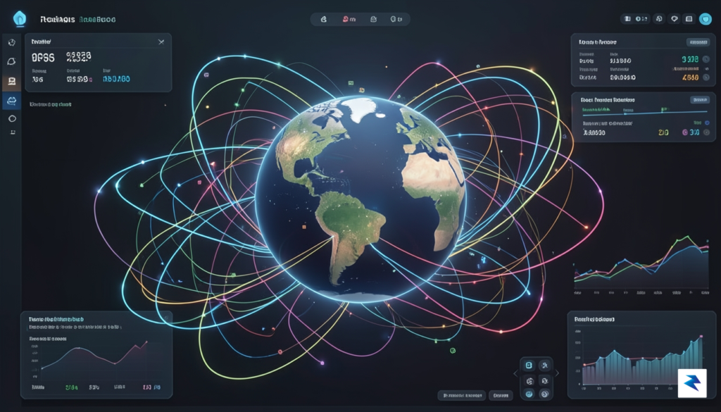
Orbit distinguishes itself by offering an unparalleled window into the cosmos, tracking an astonishing database of over 15,000 objects in Earth’s orbit and beyond. This monumental capability isn’t just a number; it represents a commitment to comprehensive and precise celestial observation, transforming your device into a powerful observatory. By meticulously aggregating and processing vast amounts of data, Orbit empowers users to visualize not only operational satellites but also fascinating natural phenomena like planets and even the often-overlooked, yet crucial, space debris that populates our orbital highways. It’s a truly immersive experience that brings the intricate dance of celestial mechanics directly to your fingertips.
The backbone of Orbit’s remarkable accuracy and real-time insight is its sophisticated integration with CelesTrack, a highly respected and authoritative source for satellite orbital data. This crucial partnership ensures that the app always utilizes the most current Two-Line Element (TLE) data, the standardized format for describing the orbit of an object. Consequently, when you launch Orbit, you’re not just viewing static models; you’re witnessing the dynamic, precise movements of these 15,000+ objects exactly as they are unfolding in space, granting you a level of understanding and connection to the orbital environment that was previously reserved for professionals and dedicated enthusiasts.
To make this wealth of information accessible and engaging, Orbit provides three distinct, yet complementary, viewing modes. The groundbreaking Augmented Reality (AR) mode allows you to simply point your phone at the sky, and the app will intelligently overlay the exact positions of satellites and other objects directly onto your camera feed, making it incredibly intuitive to identify what’s passing overhead. For a more conventional yet equally informative perspective, the 2D map view provides a classic top-down projection of Earth, complete with orbital paths, ideal for understanding global trajectories and planning observations. Rounding out the experience is the stunning 3D globe mode, which presents a rotatable, interactive model of our planet, showcasing objects orbiting in their true three-dimensional space, perfect for grasping the scale and complexity of Earth’s orbital environment.
While tracking 15,000+ objects is impressive, Orbit understands that users need to filter this immense dataset to focus on what matters most to them. The app intelligently manages this scale by offering robust filtering capabilities, allowing you to personalize your tracking experience. Whether you’re interested in only active communication satellites, the iconic International Space Station, the ever-growing constellations like Starlink, specific nation’s assets, or even the fascinating patterns of space junk, Orbit provides intuitive controls to narrow down your view. This thoughtful design ensures that you can effortlessly navigate the vastness of space, discovering precisely what sparks your curiosity without being overwhelmed by the sheer volume of data.
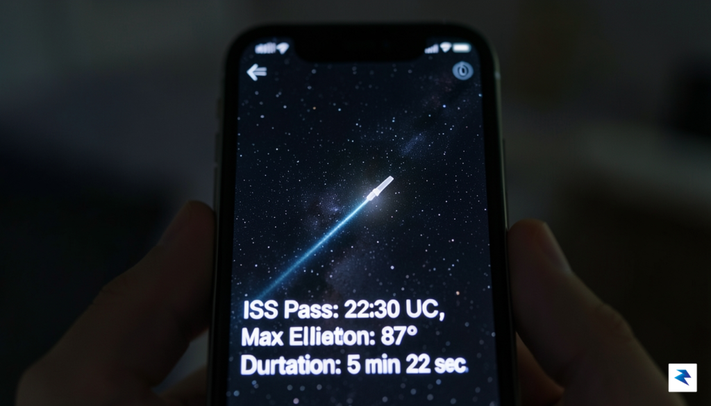
At the heart of the application lies a sophisticated engine designed to bridge the gap between abstract orbital mechanics and the immediate visual field of the user. To determine exactly when a satellite will become visible from a specific coordinate on Earth, the system continuously processes Two-Line Element (TLE) sets—the standard data format provided by agencies like NORAD to track objects in near-Earth orbit. By integrating these Keplerian elements with the user’s precise GPS location and local time, the app solves complex differential equations to forecast the path of over 15,000 objects. This isn’t just a simple calculation; it requires account for atmospheric drag, the Earth’s oblateness, and the gravitational perturbations caused by the moon and sun, ensuring that the predicted “pass” is accurate within a fraction of a degree.
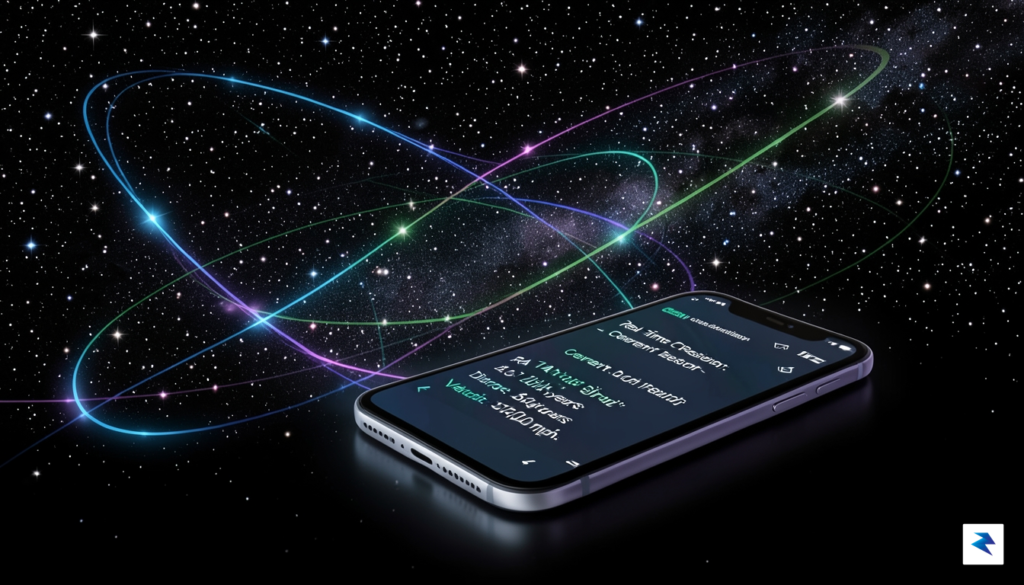
Once the mathematical prediction for a satellite’s trajectory is locked, the real challenge shifts to the augmented reality implementation. Syncing a high-velocity object—which can travel at speeds exceeding 17,000 miles per hour—with a live camera feed requires exceptionally low-latency sensor fusion. The application must reconcile the device’s orientation, pitch, and yaw from the internal gyroscope and accelerometer with the calculated celestial coordinates. If the synchronization between the physical sensors and the orbital data is off by even a few milliseconds, the satellite would appear to “drift” or “jitter” across the screen, breaking the illusion of a seamless overlay. To combat this, the app utilizes predictive interpolation, smoothing out sensor noise to ensure that the augmented icons remain firmly anchored to the sky, even as the user moves their phone.
The true magic of the experience is found in the background processing: transforming raw, cold telemetry data into a fluid, real-time visual representation that feels like looking through a window into space.
Furthermore, precision is maintained through a rigorous coordinate transformation pipeline. The app translates the celestial sphere’s ECI (Earth-Centered Inertial) frame into the local horizontal coordinate system (azimuth and elevation) relative to the user’s current stance. This mathematical mapping allows the software to account for the curvature of the Earth and the observer’s specific horizon. By continuously recalibrating these points, the app ensures that whether you are tracking the International Space Station or a smaller debris cluster, the visual representation remains pinned to the correct spot in the heavens. This combination of heavy-duty orbital physics and refined mobile sensor integration transforms a simple handheld device into a powerful window into the complex web of human-made objects orbiting our planet.

While many sky-gazing apps focus purely on the visual spectacle of identifying moving dots in the night sky, this application elevates the experience into a true pocket observatory. By offering a comprehensive, searchable catalog of over 15,000 tracked objects, the platform allows users to move beyond the “what is that?” phase and dive deep into the mechanics of low-Earth orbit. Each entry provides rich, technical data, including orbital inclination, velocity, and mission history, effectively transforming a casual glance at the stars into a data-driven exploration of humanity’s footprint in space. Whether you are curious about the lifespan of a decommissioned research satellite or the trajectory of a modern telecommunications array, the depth of available information ensures that every discovery is backed by meaningful context.
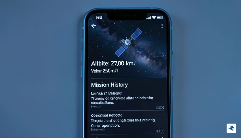
The true standout feature, however, is the integrated AI chatbot, which acts as a dedicated personal tutor for space-related inquiries. Rather than forcing users to navigate static databases or hunt through complex search results, the AI assistant facilitates a natural, conversational learning journey. You can ask the app complex questions about why certain satellites follow polar orbits, how atmospheric drag affects re-entry, or the historical significance of specific debris clusters currently orbiting our planet. By providing immediate, accurate, and synthesized answers, the chatbot bridges the gap between raw data and genuine understanding, making complex aerospace concepts accessible to enthusiasts of all backgrounds.
The integration of an AI learning assistant turns a passive viewing experience into an active, iterative educational journey where curiosity is rewarded with instant expertise.
Ultimately, these educational features redefine the relationship between the observer and the environment. By combining real-time augmented reality tracking with a robust knowledge base, the application encourages users to think critically about the infrastructure surrounding our planet. It is no longer just about tracking an object; it is about understanding the purpose, the engineering, and the long-term implications of the constellations we have placed into orbit. By fostering this level of engagement, the platform succeeds in turning a brief moment of sky-gazing into a sustainable habit of learning, ensuring that every user walks away with a greater appreciation for the complexity of our modern space age.

As the density of human-made objects in low Earth orbit continues to climb, the ability to track and visualize this invisible infrastructure has transitioned from a niche technical challenge into an engaging pursuit for the public. Tools like Orbit serve as a bridge between abstract orbital mechanics and the tangible reality of our night sky, transforming a vast, silent expanse into a dynamic grid of interconnected services. By distilling complex telemetry data into an intuitive, real-time interface, the application empowers hobbyists to look upward with a renewed sense of purpose, recognizing that every streak of light represents a critical piece of the global communication and navigation network we rely upon every day.
For the developer behind this project, the journey of building a first iOS application serves as a testament to the power of personal curiosity meeting accessible technology. Navigating the intricate landscape of Swift and Xcode while simultaneously grappling with the math of satellite positioning is no small feat, yet it highlights how modern development environments allow independent creators to build sophisticated analytical tools. This endeavor underscores a broader shift in the tech community, where the barrier to entry for space-related software is lowering, enabling individuals to contribute meaningful interfaces that make the heavens feel closer and more accessible than ever before.
The true value of such an application lies in its ability to democratize space observation, turning the daunting complexity of orbital tracking into a seamless, pocket-sized experience that invites everyone to participate in amateur astronomy.
Ultimately, the impact of these tools reaches far beyond simple curiosity; they fundamentally alter our relationship with the sky above. When a user can point their phone toward a dark horizon and see the exact trajectory of a weather sensor or a relay satellite, the night sky ceases to be an alien void and becomes a map of human ingenuity. This fosters a deeper appreciation for the fragile and crowded environment of our orbit, encouraging a more informed discourse about the sustainability of space. By democratizing access to this information, we are not just tracking hardware; we are cultivating a generation of observers who understand that our modern, hyper-connected world is physically anchored by thousands of humming machines orbiting silently above our heads.
You must be logged in to post a comment.